.svg)


Vectorworks’ Geographic Information System (GIS) features enable the geolocation of your projects, whereby geolocation aligns the file's internal origin with the project's actual location on the Earth.
Continuing on from our popular ‘GIS Workflows Using Publicly Accessible Data’, Part 2 will revisit key concepts from Part 1 and then dive into more practical, hands-on content. We’ll explore locating virtual projects, integrating GIS and survey data, and tackling workflow challenges. We will finish with an extended live Q&A with our hosts, Troy Diamond, Technical Support Specialist, RAIA, and Ben Beaumont, Senior Manager of Australian Customer Success.
Join us on Wednesday 28 August at 2:30pm AEST for this free webinar.
A recording of the presentation will be made available to all registrants after the webinar for revision purposes only. All registrants who wish to obtain their CPD must attend the live session. Attendees entering the webinar more than 5 minutes after the webinar begins, or leaving more than 5 minutes before the webinar's conclusion, will not be eligible for CPD.
Attendees will:
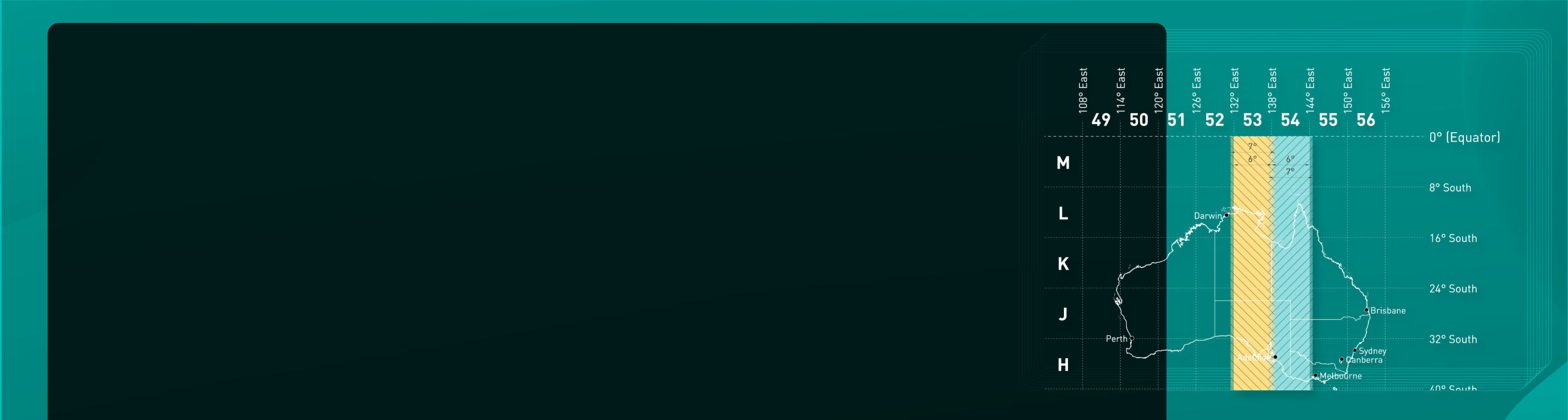
- Briefly review Australian Mapping Grids.
- Briefly review how and where to source public GIS data.
- In conjunction with Document Referencing settings, learn how to use the Geoimage and Geolocate tools.
- Gain a deeper understanding of the methods of concept and urban design and data visualisation.
- Learn when – and when not – to use GIS.
